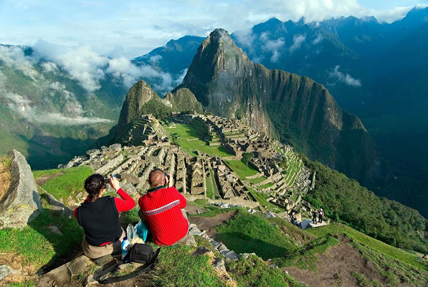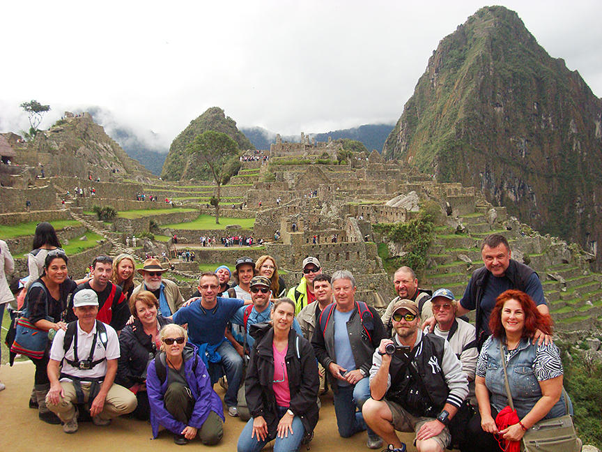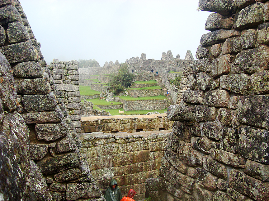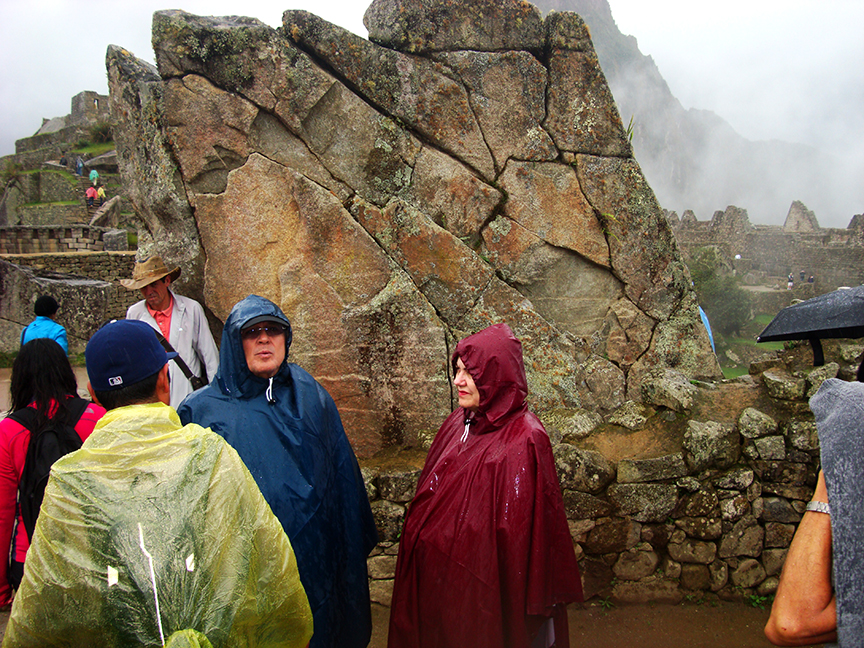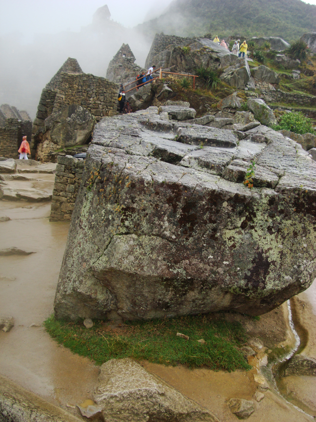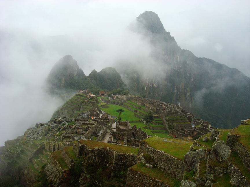
After a 2 hour train ride to the township of Machu Pic’chu a short wait, and then another hour bus ride to the top of the hill, we were all glad to get out and get this part of the adventure under foot. After hiring our required tour guide for about $200, and getting our ticket punched, we wandered into the historic site of Machu Pic’chu for an epic group photo, a brief history of when and how the site was found and then renovated, and then as Brien had predicted, it began to rain.
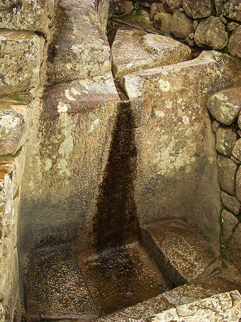
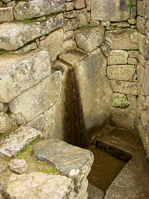
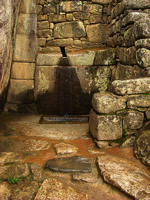
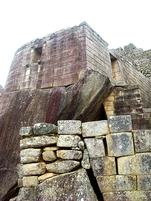
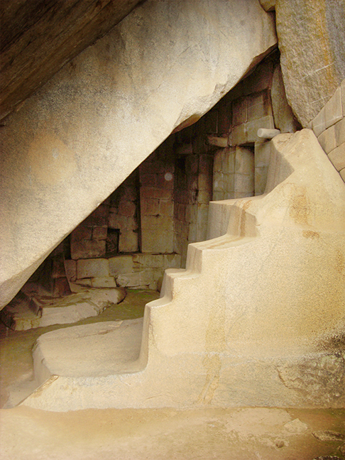
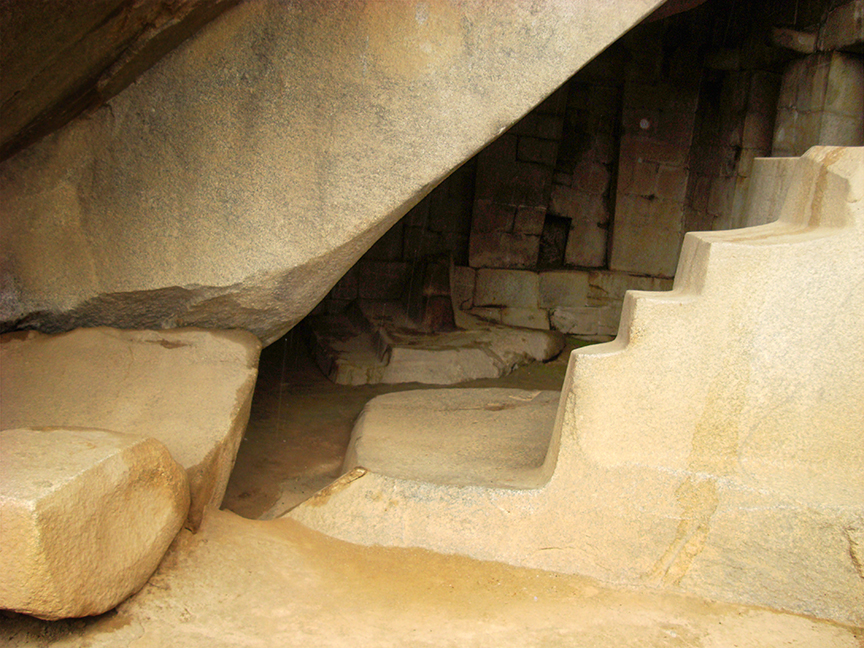
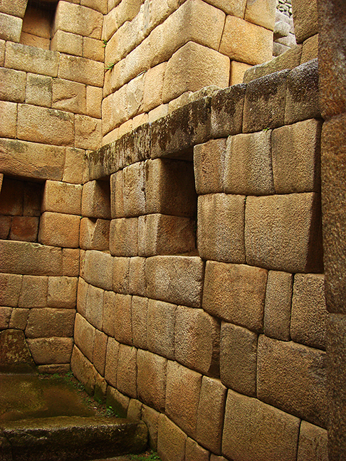
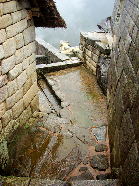
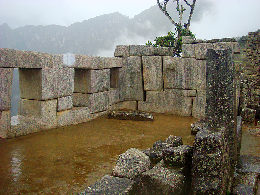
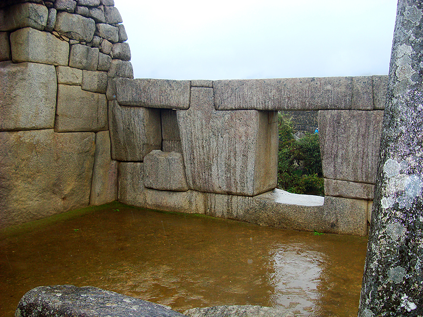
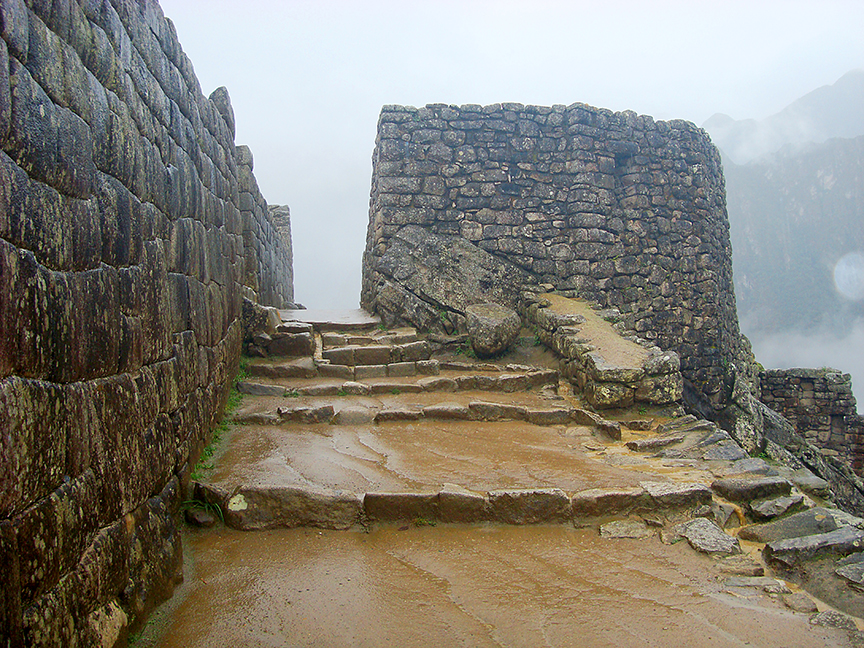
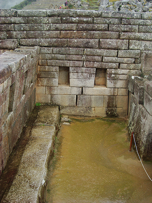
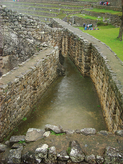
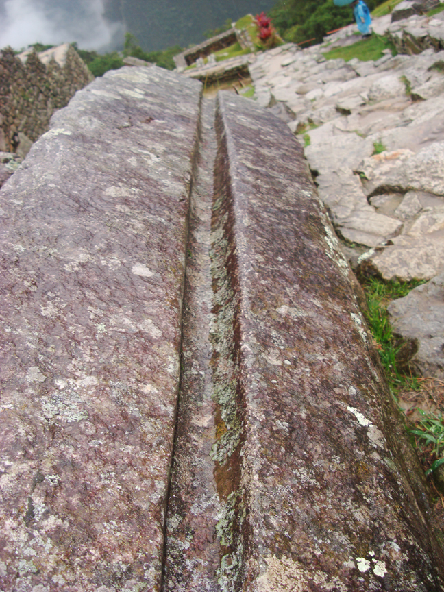
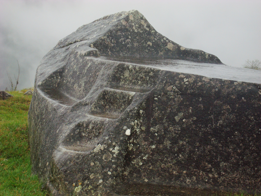
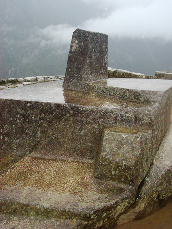
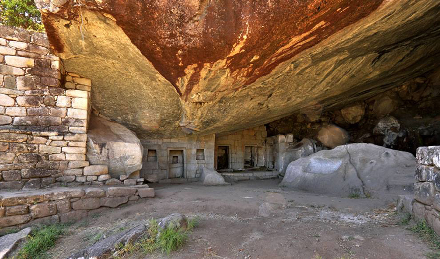
The guide took us around to all of the major tourist sites at this location, however there are hundreds of rooms and pathways to explore. There are caves in the middle of the site, and then the whole upper gate platform area which is where the epic tourist photos of this site are taken. As this site is massive only about 1/5th of it is ever seen in photos and the buildings and terraces stretch way down both sides of the mountain. Lots of water fountains at this site as well and water channeling into and away from the layers upon layers of agriculture terracing here.
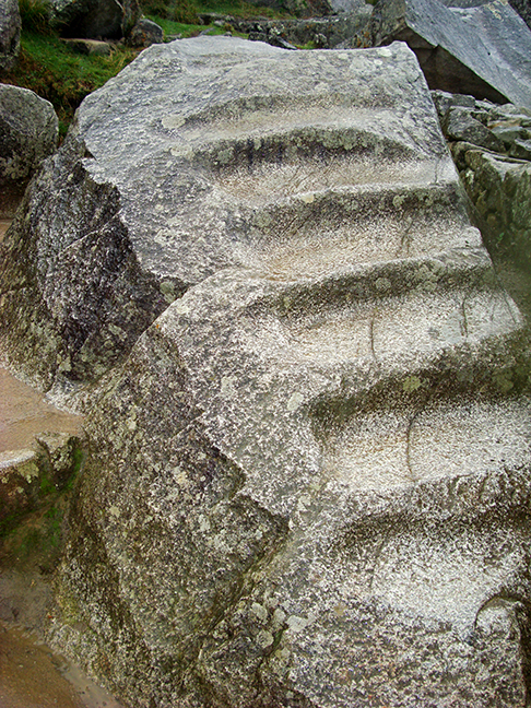
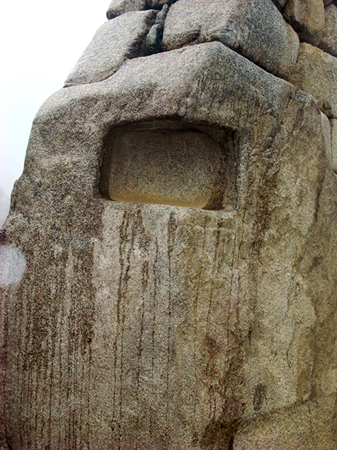
Our guide informed us that all of the stone work was brought from the Cusco area (more than 50 miles away) and a million tons of sand and soil was brought from the coast (400+ miles away). The soil also comes from the sacred valley some 50 miles away, though my distance estimates may be inaccurate considering the valleys and passes in between. This feat and style of construction would require a lot of people and much time to do. However through trial and error and “sanding the stones down to fit together” they constructed this entire site and its agricultural aspects in 50 years… according to our guide. They cracked the stones along their natural cracks and then sanded them to fit together. Again this is granite and andesite and a lot of the megalithic stone work is not from the same strata and not from this mountain. So we have a bit of a historical miss match and mystery here.
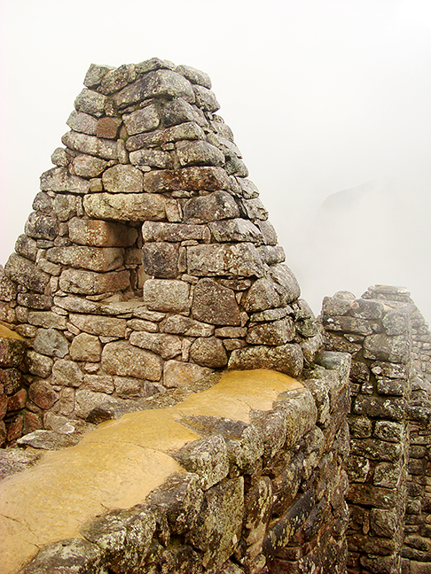
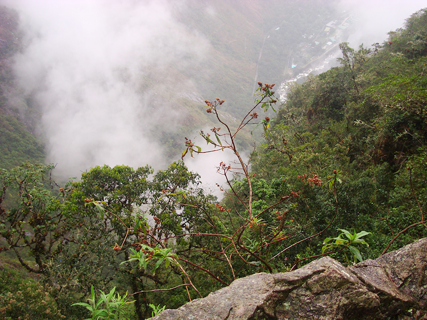
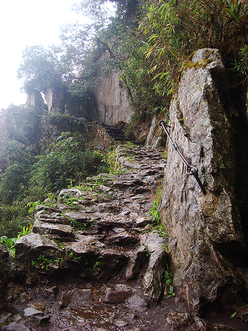
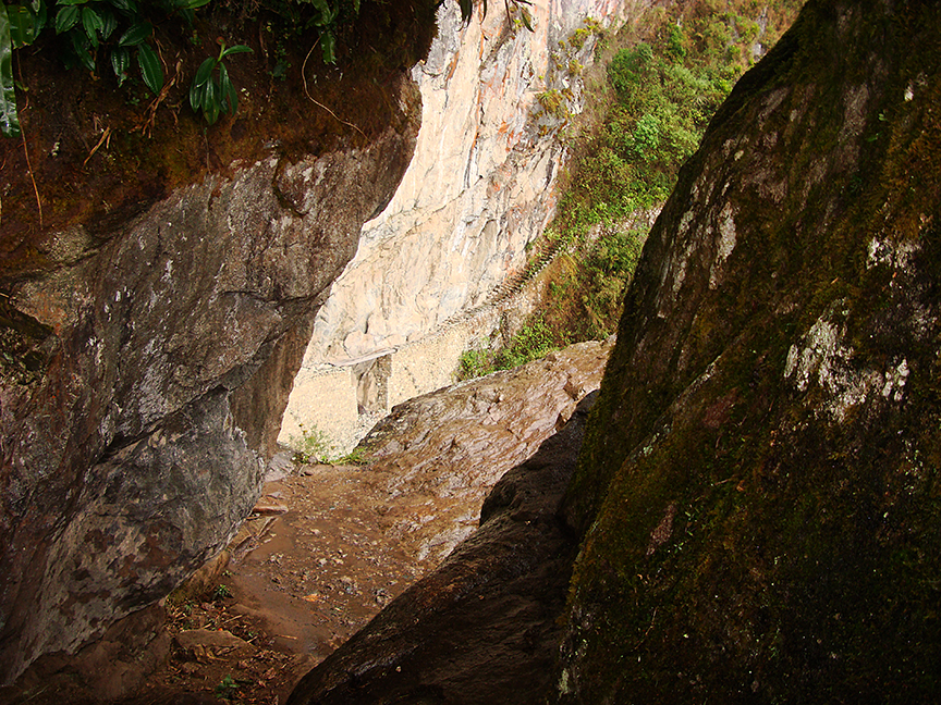
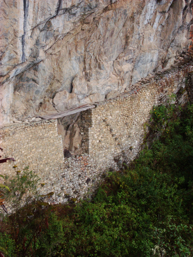
Due to the rain, the site cleared out quickly and I was able to wander about 1.5kms up and around the corner from the site to the famous “Inca Bridge” which I must say I was one of 6 people on the trail to see and they were all coming back. The path wanders around a cliff, which just drops off a few thousand feet to the river below. There is little to no support and the paths’ blocks are slippery as can be. To think that there were “runners” running this trail into the amazon as spies and messengers is beyond me, but we know that they did this. After seeing in my youth what the Nepalese were capable of on the mountain trails in Nepal, I could certainly see it possibility.
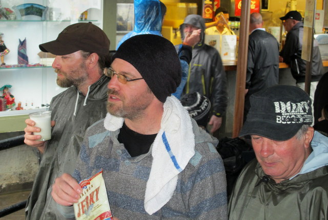
By the time we all made it back to the bus I was drenched, and cold. Nothing a pisco sour and some coffee couldn’t cure. However on the train ride back, I zonked out.
CLICK AN IMAGE TO START THE GALLERY